Let me just tell you this, I was extremely lucky. The weather was pleasant and
clear, unlike most days when it is foggy and rainy. I thought I ended up
catching a trail a didn't mean to, complete mystery because on the map they are well apart. I surely did
not want to spend the night alone on a wet cold mountain, with no supplies and
no light. I surely did not mean to run out of water, my plan was sufficient for a days trip but
not longer.
I never carry unnecessary weight on me, and water is heavy. :| My
650ml was OK but at the end of the day I had only small bit left.
The hike up was strenuous but not out what I expected. I was happy that there was no need for trail watching as there seemed to be only one way up. Or two ways shall I say - the hikers trail and the horse trail. Following in the same direction though. In my
previous post on El Cajas you could see a basic trail mark - the color and positioning.
 |
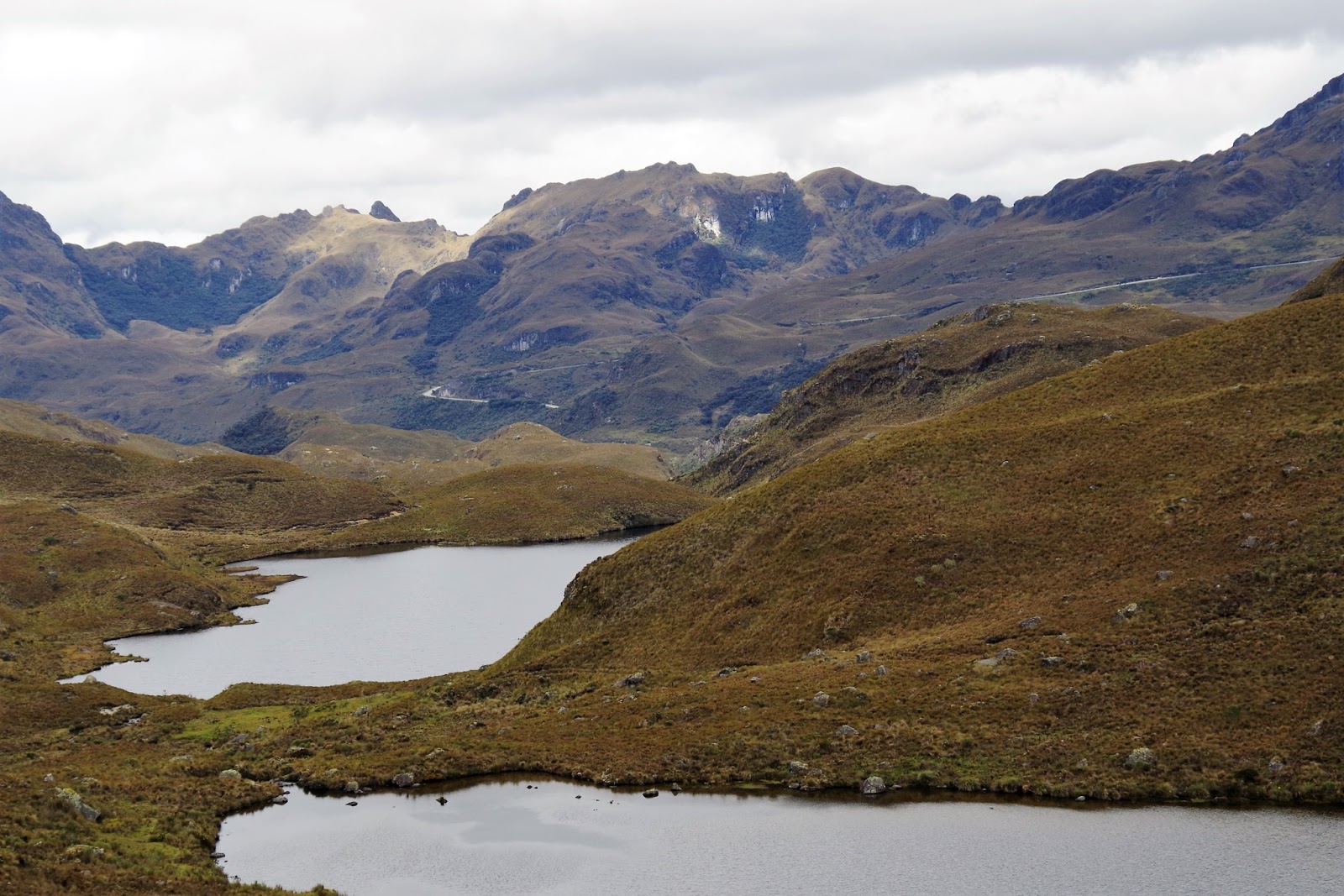
| After the steep climb that was indicated in the trail description, the road at the highest point was going down north to the village of Patul and my trail was south east. This view is of the valley where Patul is. |
 |
| Never-ending stripes of lakes and wetlands, clear horse tracks and donkey tracks, |
 |
| ...Occasional riders here and there on the first part of the trail leading to village of Patul... |
I was stopping often partly to catch my breath but most importantly to admire the views and take pictures. Even though the motorway was still visible, I felt really adventurous just by being there and hiking up where tens of local people hike every day.
 |
| Got to love the mountains. |
Up until reaching the highest point on the trail, everything was going smooth. Even the weather was cooperating. When I got to the top of the trail there was a hiker resting there and it was a she actually. I think she was as surprised as me to see another tourist on the same trail. The rest of her family decided to take up a hike to concur the mountain top and she was resting while waiting for them to come back. I could not resist the urge to do the same so I went on to find the best option to attempt the climb. Wind was already blowing hard and the weather looked like it could change any time. Mountains are to be respected at all times. With that in mind I went on my search for the mountain top.
 |
| Fellow hikes on the trail, concurring the mountain top at 4250m. |
It was probably an additional 40 minutes hike/climb to get to the top, at a brisk pace. Stepping through grassland at first and through rocks towards the top. Hiking down was another thing. I decided to come off the mountain on the other side, to be closer to where I had to resume my trail. I managed to catch the family of hikers and we started hiking almost at the same time. I gave them 10-15 minutes time so they could enjoy their hike without a stranger on their back.
 |
| Some of the views from the highest points on the trail. I could just sit and stare at it forever. Or for a very long time for sure. |
 |
| I was so glad to see the tradition cultivated even in the remote part of Ecuador. Hikers tend to build rocky constructions to indicate they have been there and concurred the trail/the mountain. One hiker is entitled to put one stone on top of the construction. The more stones are lined up the more hikers have played the game. |
 |
| The trail behind me, the highest mountain tops behind me.. wetlands and grasslands in front.. |
 |
| Abundance of water everywhere. Beautiful sea of green and yellow around me. |
 |
| When the light changed everything was suddenly brown and yellow. Just like the autumn leaves. |
 |
| I cannot imagine how other trails could be more beautiful. This trail did not have the highest score for its picturesque views. I just cannot comprehend that other trails were even more beautiful than this. |
 |
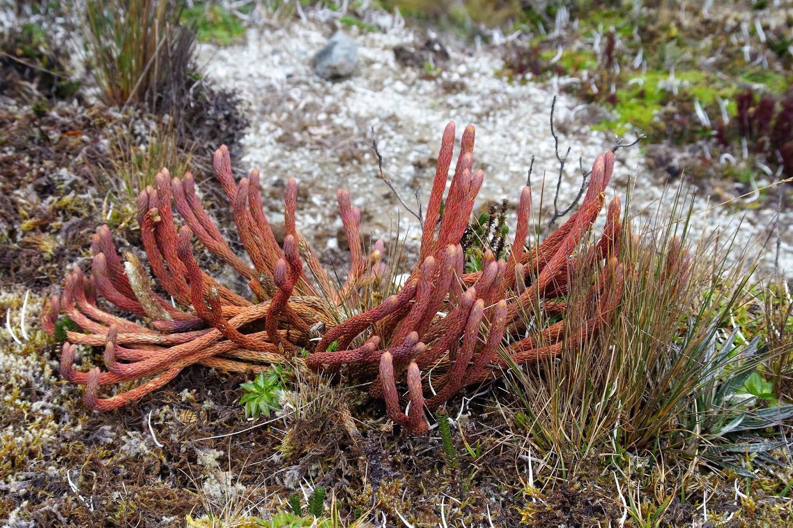
| Every little plant was something different. I could not just walk indifferently when there was so much NEW to discover around. |
 |
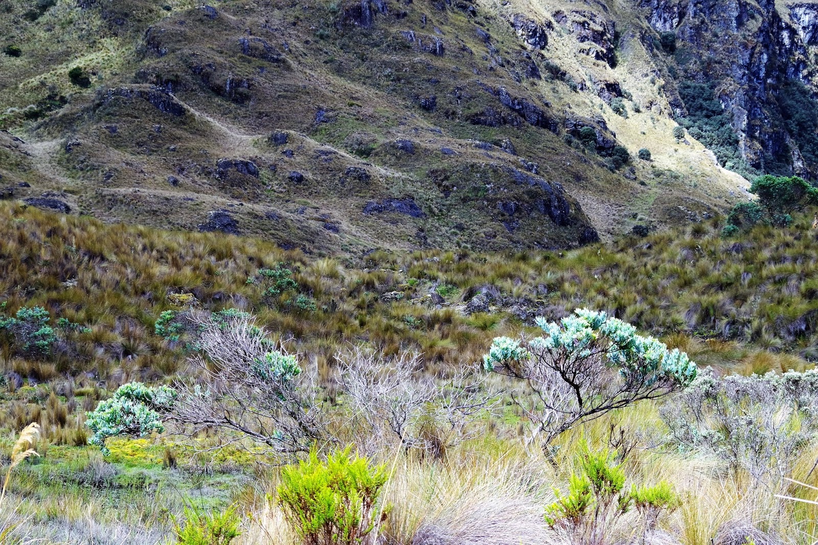
| Wet and green, high and low. |
My trek ended up from scheduled 5 hrs 10km- to 8hrs and I added a significant number of KM to the overall daily mileage. I hiked up three additional mountains, first one voluntarily to concur the 4200m top and the two others because I lost the trail and had to retrace back up.
The trail I was following ended when I reached the Park border. From there I could see the road but I was on the mountain and there was a forest, a river and another hill to the road, without a trail! I had one hour before it got dark. If that was not enough, I realized then that I lost my headlamp and did not have it on me. My only help would be flashlight app on iPhone and kindle - yes I had them with me as I loaded electronic maps!
I had no idea how this could have happened, especially that I have followed the trail all the way. Except of the times when I lost it and had to go back to find it again. These times were specifically during descent on a steep slopes where no marks were visible. You think you are going down anyway and it will not matter much if you wander off a little bit. It mattered in El Cajas. Couple times I arrived in a wetland where there was no option to continue dry and no trail was visible. Like on the picture below, I arrived at the bottom just to find out that around me was only wetland and swamps, as beautiful as it looks. Not likeable unfortunately.
 |
| Time to go back and find the trail again! |
 |
| Here I entered the land of waterfalls, |
At this point I thought I had gone through good part of second half of the trail. I did not rest much and did not have my lunch break. When I arrived to the waterfall zone it was so peaceful and quiet there that I had to sit down and enjoy it. Taking my boots off and resting my feet on rocks while snacking on lunch food and admiring the surrounding was the best break one could hope for.
 |
| I found the highest rock and sat on it, the view directly in front of me was this. |
 |
| the view around me from my rocky sitting |


No comments:
Post a Comment