Sometimes ideas where to go next come from research, sometimes from suggestions and inspiration by other people. The trip to Arizona was one of the people's inspirations. I was looking for a mountains destination that would not be too inaccessible in the winter yet challenging and inspiring. My Facebook friends suggested various directions, and after the usual initial research that I always do, Sedona, AZ was the perfect weekend get-away for long Thanksgiving weekend.
 |
| Breathtaking panoramas and beautiful colors enhanced by the warmth of sunset colors. |
 |
On my way to the Bear Mountain.
|
I had no idea what to expect. I have never been to the desert, never in any of the southern States, my first hiking trip in the USA. Testing waters as one might think. Traveling within the same country seems so much easier in comparison to far-away exotic backpacking trips. Western civilization and infrastructure make things so convenient. Booking my flight for miles, booking lodging through Airbnb, booking a car for miles. Once my mind was sent it took couple hours to find places to go and organize. My biggest item was the lodging, I did not want to stay in a hotel-chain or any of the more downtown locations. I was lucky to have found a perfect spot via Airbnb,
Sedona Sacred Rocks B&B, which was formerly a Buddhist Retreat Center, rests on two secluded Red Rock acres adjoining two thousand acres of the Coconino National forest, the Mountain Lion room. Very interesting place and a nice retreat if you like quiet time in the countryside. Perfect for meditation, relaxing, a great location to commute to any hiking location really. On top of the exquisite location they also offer horseback riding and spiritual retreat - meditation and participating in healing rituals.
 |
| Sedona Sacred Rocks Retreat Center, the locals were very friendly joining in watching the sun go down. |
 |
| Sedona Sacred Rocks Retreat Center, one of several cute courtyards. |
I knew I would be happy with it and it did not disappoint me.
 |
| Sedona Sacred Rocks Retreat Center,view point - isn't the little bench inviting? |
On my first day after arriving I only had 3 hours of a daylight left so I decided to take up a warm-up hike and explore the nearest trails. I was immediately overwhelmed by the spectacular red rocks breathtaking views. Something I have never experienced before.
 |
| There is a reason why Arizona is called the land of red rocks, they really turn red! |
 |
| There is nothing more soul soothing than the panorama of mountains calling for exploring. |
 |
| Almost half way through the hike, views are as breathtaking as anticipated. It always makes me happy to stop and admire what nature created for us to admire. We just have to find the time to stop and actually admire it. |
As much as I am always excited and motivated to go hiking, I always have to remind myself that mountains do not forgive mistakes and lack of preparation. Not knowing the trails and not having maps and sufficient provisions can end up tragically. This is what I was taught back at home when hiking mountains in Poland. Thought not the highest in Europe, they are "moody" and the weather is unpredictably treacherous. I try and remember that whatever mountains I am about to hike and always make sure I am prepared to my best abilities and weather conditions.
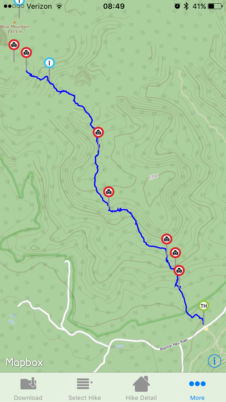
With this "little" 8.8 mile hike, rated as HARD by
Sedona Hiking App. The descriptions appealed to me immediately:
One of the harder but most enjoyable hikes in Sedona. You will look up to fale summits before actually seeing and hiking to the top of Bear Mountain. The views are spectacular all the way up, including a view of Mount Humphreys. 1893 ft elevation change.
Sedona Hiking application was a great resource for me. It was well worth investing $4.99 and not have to worry about buying and carrying physical maps with me. The app provides descriptions, trail maps and GPS tracking with offline maps for over 100 trails, that's 360+ miles of trail beauty! No need for a cellular or network connection once on the trail - per-download the trails you want and you're set to go. I like having backup plans and I usually carry electronic and paper maps with me, just in case. This time I did not find the low resolution map suitable for hiking in the Sedona area (lazy me, I should have probably ordered online some weeks in advance).
 |
| Day-1 afternoon quick hike to the Bear Mountain. |
 |
| I loved this view so much that I took several pictures of it to make sure I capture its beauty from every possible angle. |
The trail system in around Sedona is well developed. Most of the trail heads are easy to find and with Sedoana Hiking App it makes it super easy because the application has a function "go to trail head" from whichever location you choose to commute.
There is an entry fee to all of the trails in the area, if you decide to go hiking. I was a little uneasy about it at first, where to purchase a pass and making sure I buy the right pass for what I am planning to do? Well, it was not necessary to worry. Every trail head I tried had an automatic ticketing machine, much like parking meters you see in the cities. The machines accept all major credit cards or cash. I could not think of making it any easier for tourists. Good for you Sedona!
Every time I was leaving my car parked by head trail I just had to make sure I purchased my day pass ticket and leave it visible for "ticket police":). Some days are free of charge, like the Thanksgiving. I was free to go.
 |
| The view from close to 1700 m. Bear Mountain is another 273 m up. This is one of the fake summits. It makes you feel like you are already there. |
The trail was everything I could wish for on my day 1. It was difficult at times, climbing was strenuous and challenging. Rocky formations made me work for every meter of gained elevation. I quickly learned not to touch any plants and avoid taking shortcuts through the bushes. All of the plants had spikes, sometimes as small as almost invisible but leaving their mark and painfully going through my skin even with two or three layers of clothing.
On this first hike I was learning how the trail marking was done and what to look for. I was learning to keep attention to turns and make sure I wasn't getting distracted with paths that looked like wild trails but getting me off the actual trail. I also reminded myself that it is much easier to look for trail marks when going up than when coming down. With sun in my eyes and rocks everywhere I look it is hard to find the correct path down. Taking a wrong path would get me down on the wrong side of the mountain. When time is of essence (sunset at around 5:30 PM) I couldn't afford mistakes like that.
 |
| Stunning panoramas all around. With the sun coming down and clear skies I could not think of better hiking conditions. |
I arrived to the third view point from the top and decided to turn back. The sun was way down already and I did not want to take risks of hiking down in the dark. It was a good enough day as it was. On my way down I saw few Japanese tourists still going up, strange notion when you see they were not prepared for the hike. Should you stop and try to understand what they were doing? Educate them? Make sure they know what they are doing? I figured that this short trail has little risk for them and they were 4-5 people together so they should not get too stuck. They would figure out to turn back, eventually.
 |
| Red Rocks everywhere... |


No comments:
Post a Comment